Understanding an Ordnance Survey map in Geography!
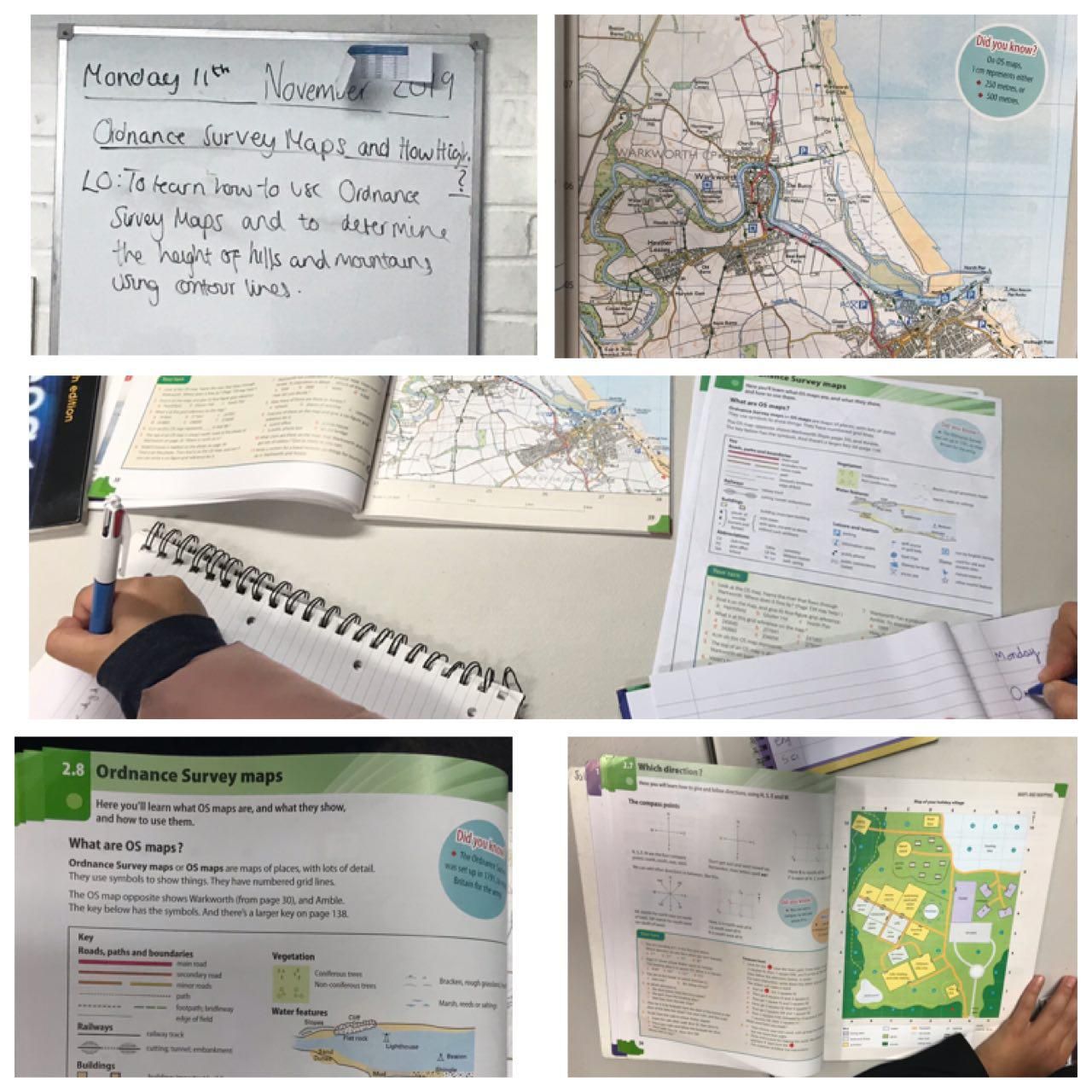
In Geography our home-schooled children have been learning about what an Ordnance Survey map is and how to read one.
An OS (Ordnance Survey) Map is a useful tool if you are planning a route for a long walk off-road.
It has symbols to explain the features of different areas, so walkers know where and where not to go.
Ordnance maps have a scale. Different maps might have different scales.
The children also looked at understanding the way in which height is represented on maps.
To do this they explored and discussed definitions such as: Ordnance survey map, key, boundaries, vegetation, Contour lines and abbreviations.
The children went on to complete an activity to help them read and use Ordinance Survey maps.
